
by chiefwomble
Share
Lindfield Walk and Map by Footprints of Sussex

Start & Finish: Car Park in Denman’s Lane, just off Lindfield High Street (4hr restriction Mon-Sat)
Distance: 2 ¾ m (4 ½ kms). Allow 1 ¾ hours.
Terrain: Mainly residential roads but with two muddy fields.
Stile Count: None.
Toilets: In the car park.
Refreshments: Limes Bistro in the High Street. Excellent snacks & light lunches. Mon – Sat from 10am – 3pm.

Make sure you are in the public car park and not the adjacent one for the supermarket. Return to the High Street and turn right heading downhill.
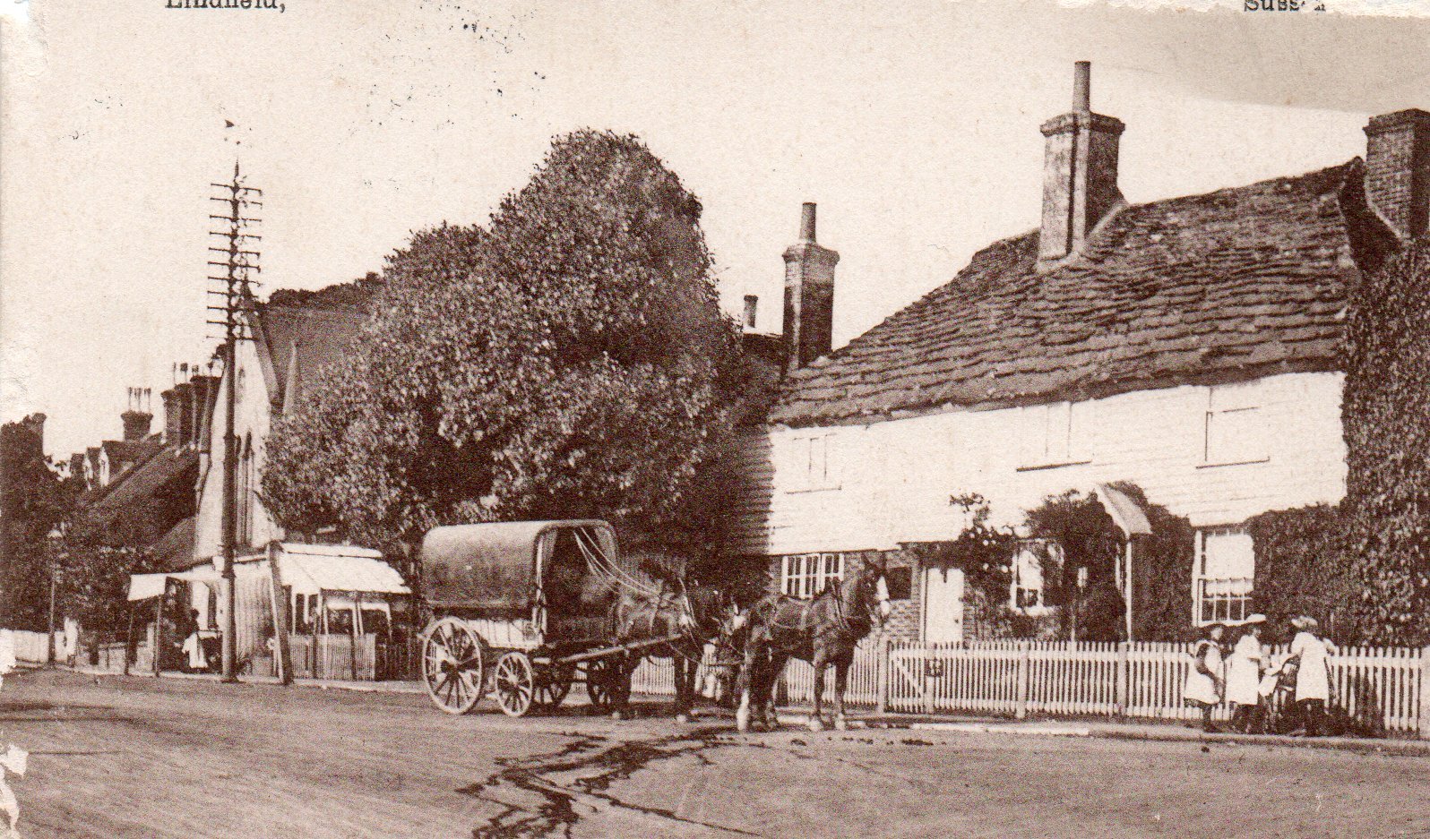
Lindefeldia, meaning ‘open land with lime trees’ is first mentioned in 765 A.D. when Aldwulf – who became one of the great Saxon Kings – gave this land to one of his Earls for the endowment of a monastery. The beautiful pollarded lime trees in the HighStreet continue to celebrate the name of the village. They are to be replaced with younger trees over the next few years.
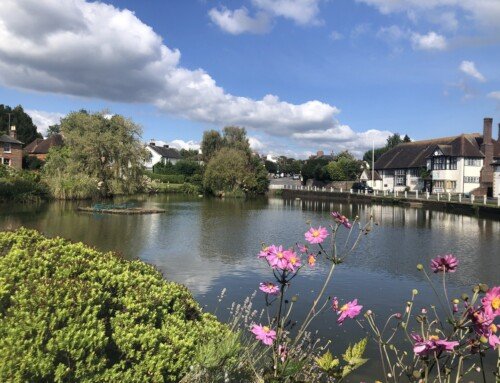
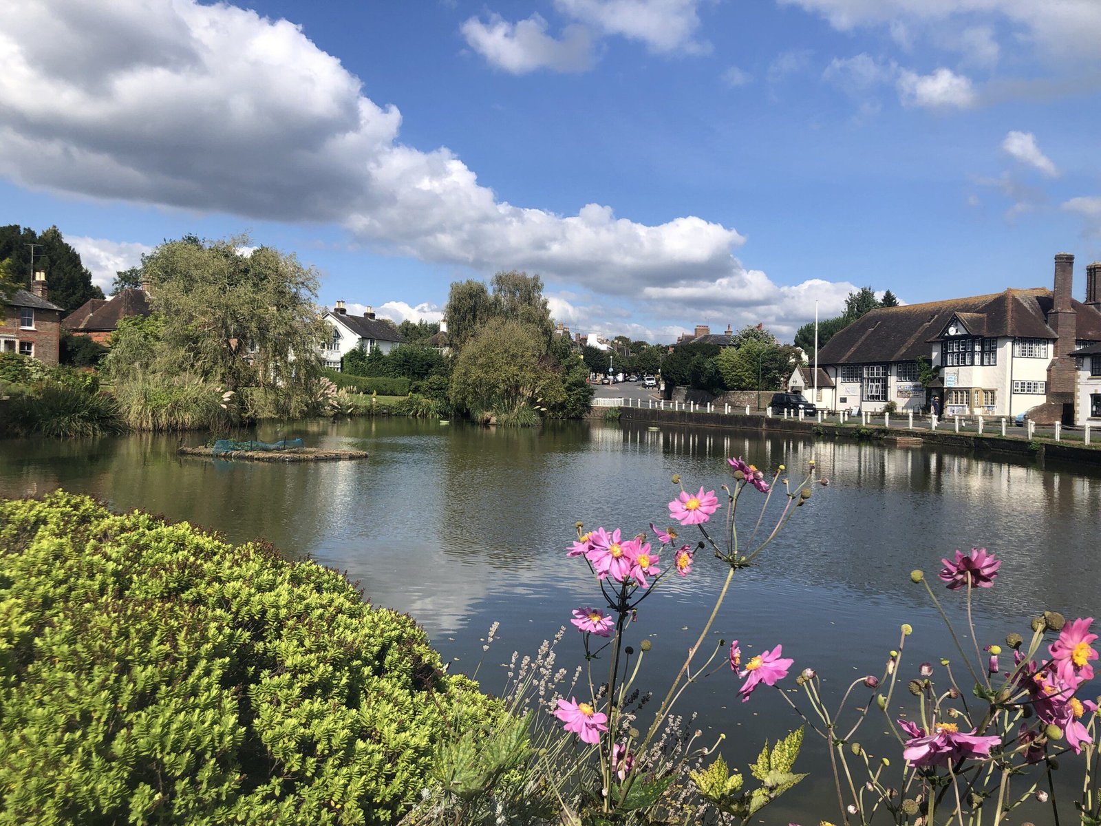
After passing the village pond cross the road carefully to the playing field and follow the tarmac footpath around the left side of the field. The path curves further left to pass a children’s play area before reaching the Lewes Road. Turn right to walk along the pavement and at the corner of the field turn right again to follow West View. Walk along the path inside the low railing.
Lindfield Common is ideal for recreation and good cricket has been played here since 1747. The Bowling Club was founded in 1903 and the Tennis Club in 1930. The ‘Lindfield Bonfire Society’ was founded in 1894 after the village boys had been warned about some of their more exuberant behaviour. The society still organises Bonfire Night as a spectacular event in the annual village calendar.
As you approach the tennis courts follow the tarmac paths to the furthest corner of the field where a barrier leads to a path between high fences. Cross straight over Meadow Drive to another path and a bridge over the stream. Once over the stream turn immediately right and in 100 m cross a second bridge on your right to enter the Scrase Valley Nature Reserve. Continue straight ahead from the bridge with the main branch of the stream now on your right.
We quite often find alder trees, with their winter catkins, lining small streams and here is no exception. Their wood was traditionally used for plywood and for making matches.
Pass under the low pipeline and 200 m after this, on reaching a crossing tarmac path, turn right to cross another bridge over the stream and head slightly uphill. At the residential road ahead turn left and walk along Appledore Gardens. Follow this pleasant road as it swings right and at the bottom of a dip turn right into Blackthorns.
This estate has been very thoughtfully planted with a huge variety of trees and shrubs. See how many you and your companions can name. Ten would be a good score in the winter (it’s easier in summer).
At the end of Blackthorns there is a footpath onto the main road with a signal-controlled crossing. Use this to walk over into Hickman’s Lane and keeping to the left side walk past Denman’s Lane. At the Witch Inn and before the junction with Sunte Avenue, look across the road to your right. Besides the road sign for Hickman’s Lane there is a footpath. Cross the road and walk up this narrow path.
The inn was originally named after a Wytch Elm, which grew nearby – but the present spelling suggests much more mischief! You are very likely to see grey squirrels somewhere along this walk. At the end of the 19th century about four hundred of these destructive little creatures were imported from the eastern United States – they are now counted in their millions!
As you pass the end of a close keep hard to your right to continue on this path as it turns left and right before emerging into a quiet road beside ‘Dorels End’. Keeping this row of houses on your right walk ahead to a gap in the hedge, which leads onto the open playing field. Head half right diagonally across the field aiming towards a large, redbrick house with gable windows and two prominent chimneys (if it’s very muddy you may want to keep to the edge of the field). Cross the road ahead and take the broad gravel track just to the left of the house with the chimneys.This track leads past the white building of ‘Appleton House’ and narrows a little as we pass by residential garages and then the vicarage, to emerge at the top of the High Street opposite the church. Enter the churchyard by the gate to the left of ‘The Tiger’.

The Tiger was once an inn and still has the outward appearance of being one – despite its present much more spiritual nature. All Saints Church has a splendid broach spire (one which converts a square tower into an octagonal spire) and a full peel of eight bells. Every Sunday after striking the hour of 8am the oldest bell, dating from 1573, is rung so many times for the date of the month.
After visiting the church return to the main gate, re-cross the road and now turn right to walk past the church, around this very pretty corner of Lindfield. As the road begins to sweep left cross over to the entrance to ‘Old Place’.
The Thatched Cottage, with its date of 1390, is believed to have been the original home of the Chaloner Family who built an Elizabethan Manor besides the cottage. Charles Kempe, the famous Victorian stained glass artist, bought the estate in 1875 and recreated a sumptuous mansion in Elizabethan style where he entertained lavishly.
From here follow the tarmac drive, which passes behind the church. On our left we catch a glimpse of the original west wing of ‘Old Place’- the only truly 16th century part. After passing the entrance to ‘The Pavilion’ turn left in front of Church Close and walk behind the wooden towers of The Pavilion.
This extraordinary building forms part of ‘Old Place’. It was where Kempe had his studios and designed and assembled many of his famous stained glass windows.
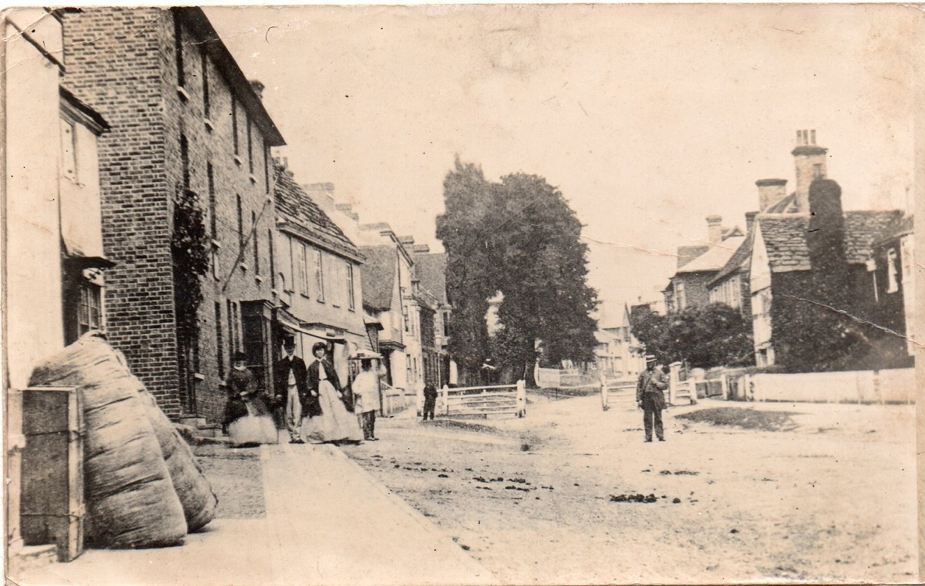
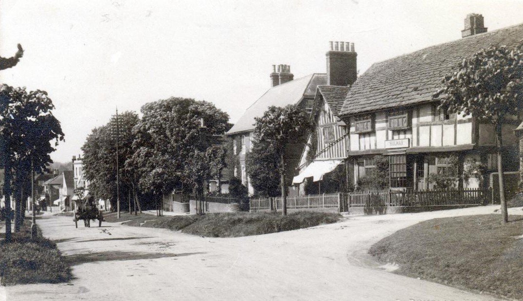
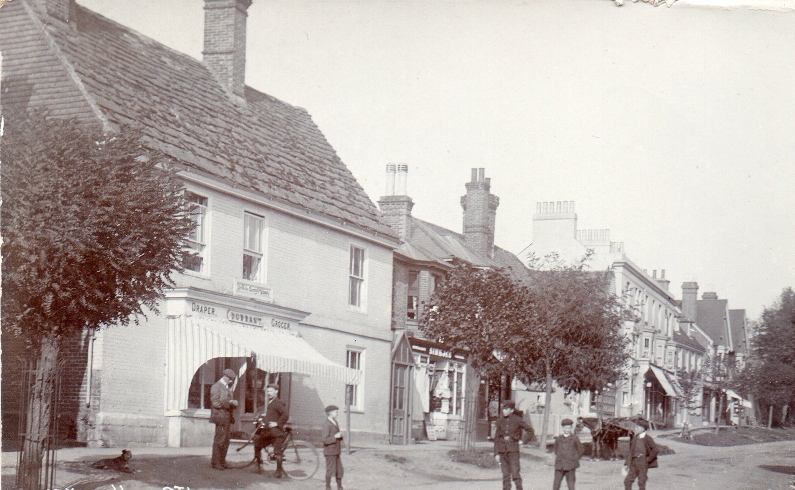
Ignore the footpath going over a stile ahead and instead turn right to walk along a row of cottages at the end of which a path to our left leads onto a tarmac road. Continue ahead for 150m to a T-junction and turn right along Brushes Lane to reach the High Street at the Bent Arms. A sign on the wall here tells some the inn’s history. Cross over the High Street and turn left. As we stroll down this lovely tree-lined street every house seems to be from a different age and in a different, but attractive, style. There are over forty medieval and post-medieval timber framed houses.
On our left is ‘Malling Priory’, an elegant Queen Anne building whilst on our right is the much photographed ‘Barnlands’ with its timber-framed ‘continuous jetty’ construction dating from about 1530. Lindfield was on the London to Brighton coaching route and in 1794 there were three services a week in each direction. The Red Lion on our left was a favourite watering hole for tired passengers and horses alike and just a little further down on the same side the ‘Toll House’ was the site of the tollgate known locally as ‘Old Pike’. Beneath the floorboards of the house were found several 18th century coins – presumably takings from the turnpike. The gate was removed in 1884 when it was ceremoniously burnt during that year’s bonfire night celebrations during one of the ‘boys’ more exuberant evenings!
Continue walking gently down this most attractive of roads to Denman’s Lane where a right turn will return you to the car park. Time now for some well-earned refreshment in one of the village’s many excellent hostelries.This walk was researched and written for Mid Sussex District Council by Footprints of Sussex who lead local guided walks throughout the year.
© 2007 Footprints of Sussex


